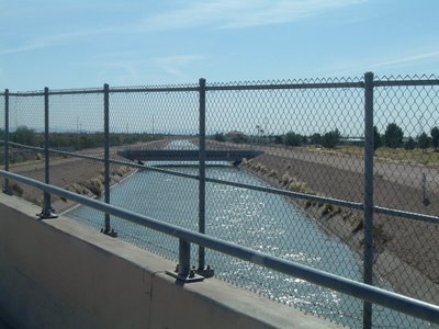
This is taken on Brown, looking southeast. Not an inspired shot, but it's part of the story of the Valley that irrigation drives so much of its existance. This water came from the Colorado River and may wind up near Tucson. Pretty impressive project.
Other canals take water from the Salt River and flow through Mesa, Gilbert and other cities in the valley. People use the water for the orange groves, the cotton, and other crops, but they also use it to water their lawns. The lawns here are often recessed and rather than spraying water, which evaporates, they flood the lawns instead.
One of the more odd-looking things you see are the pipes that carry run-off water across the canal. I presume that they don't want the debris clogging up the canals, but it's still kind of funny to see.
The canals in Mesa were first built by the Hohokam, who built irrigation canals in much of the Salt and Gila River valleys (
http://en.wikipedia.org/wiki/Hohokam). These were found and refurbished by the Mormons who settled in Mesa, and have been expanded and enhanced ever since.

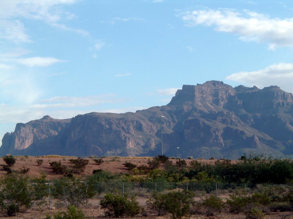
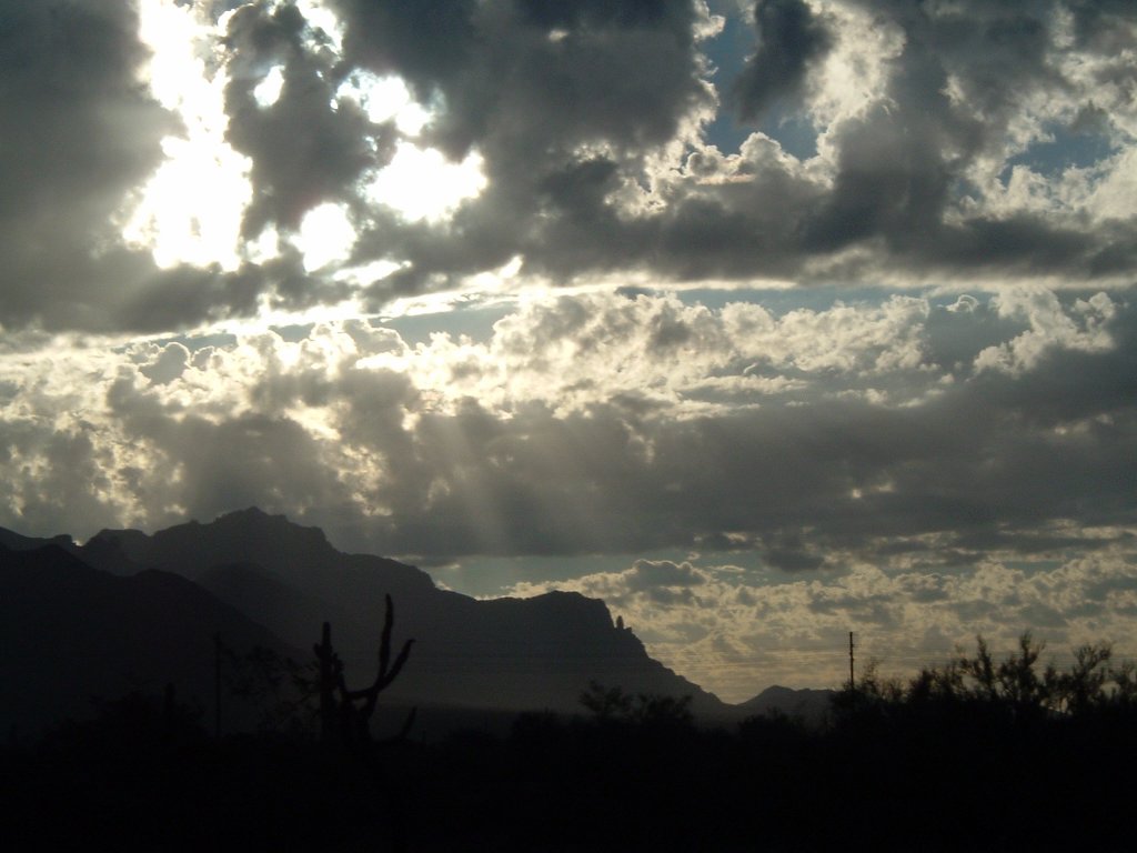
 The mountain was lit up for just a minute before the clouds rolled in and the rain started.
  This shows the decent into the valley north of the Superstitions. It's a blast heading down this road on a bike. I had to brake hard on some of the curves since I was going so fast.
 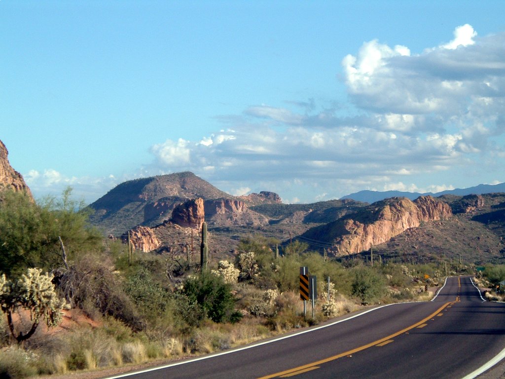 One of the few downhill sections of the Trail before it climbs toward the Superstitions. On a bike, that sort of thing is noticed!
 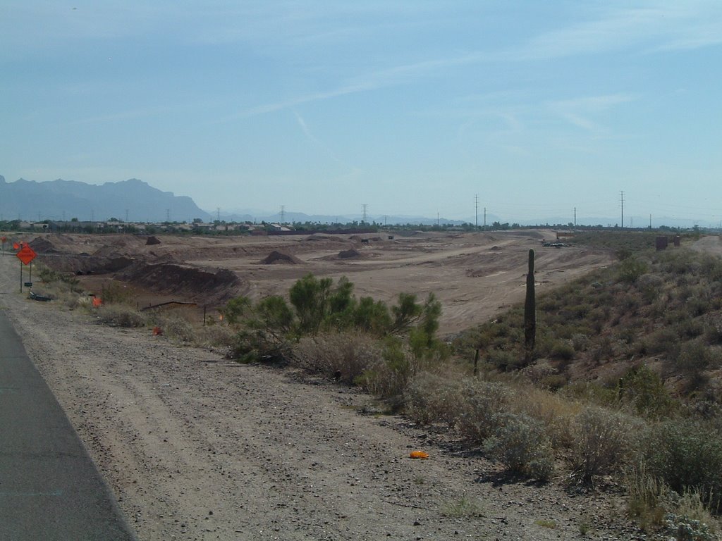 This is right next to the CAP canal. The new highway is still a couple years from completion here, but they're already lowering the roadbed.
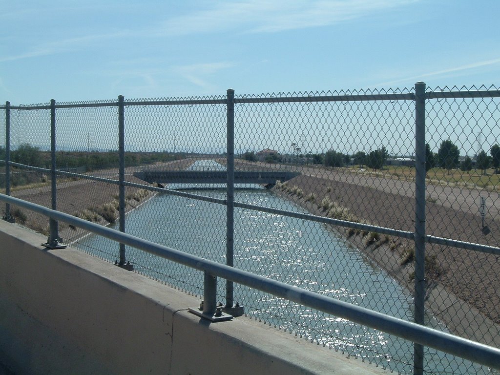 This is taken on Brown, looking southeast. Not an inspired shot, but it's part of the story of the Valley that irrigation drives so much of its existance. This water came from the Colorado River and may wind up near Tucson. Pretty impressive project.
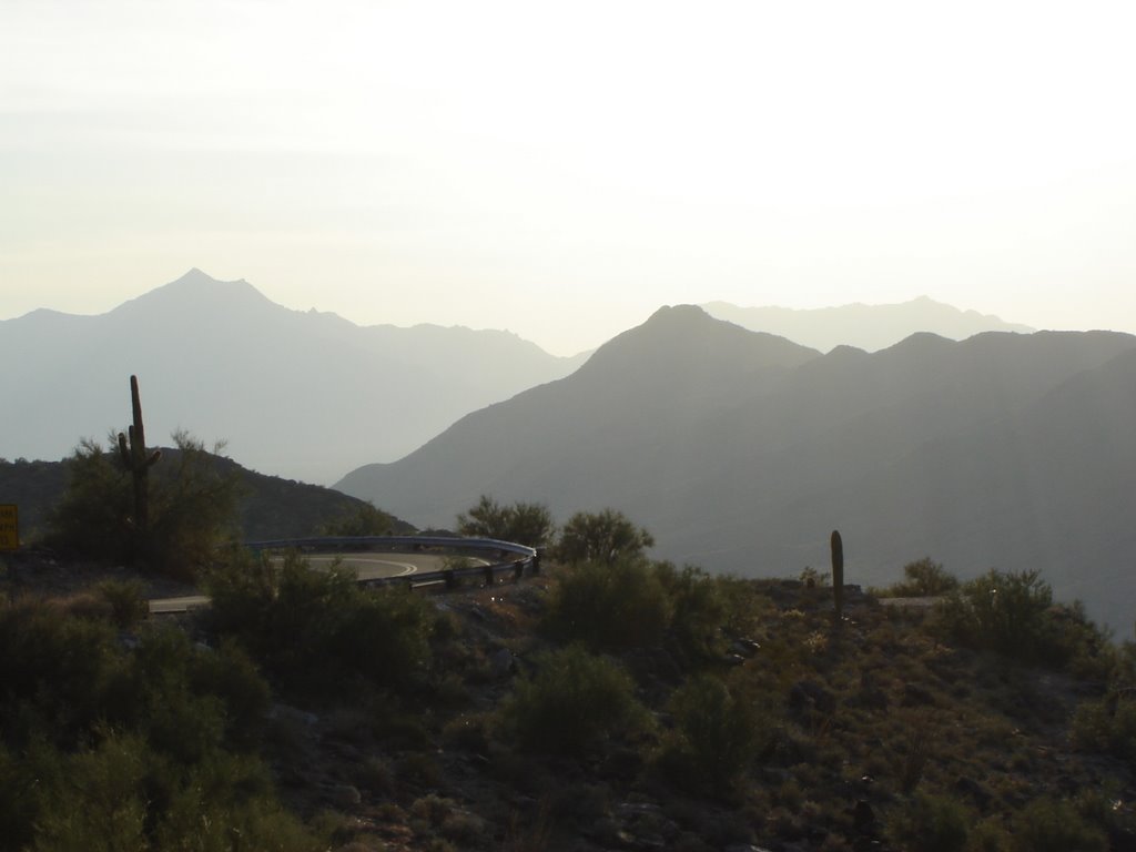 The sky was really hazy yesterday when we drove to the top of South Mountain. The Sierra Estrellas provided an outline to the west.
 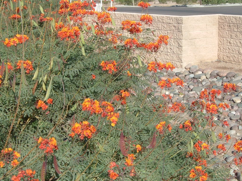 I've posted pictures of the Bird of Paradise before, but I thought this one was nice for the way the light hit it.