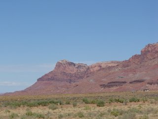
This last weekend we traveled up from the Valley to the North Rim. We drove past the volcanoes around Flagstaff and across the canyon of the Little Colorado and then on up along the Echo Cliffs.
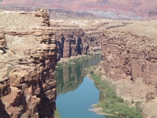
At the top end of the state AZ-89 reaches the vertex where the canyon of the Colorado River splits the north-south Echo Cliffs from the east-west Vermillion Cliffs. At that point, a few miles downstream from Lee's Ferry, the highway crosses the canyon on the Navajo Bridge. The bridge is a replacement for an older structure that's preserved as a foot bridge.
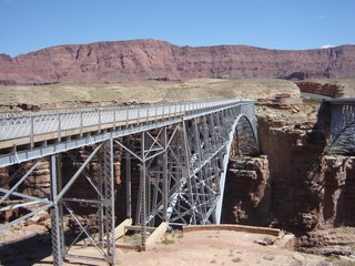
We walked out onto the bridge and checked out the view down to the river. From the bridge south and west there is a wide-open plain edged by the two cliffs and, on the west, the Kaibab Plateau.
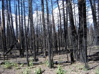
From the bridge we went along the Vermillion Cliffs and up onto the Kaibab Plateau to Jacob Lake. Just before town we saw the edges of the fires that shut down the north rim in June. Jacob Lake is nearly 8,000' in elevation and it's quite a climb up the face of the plateau.
The road south from Jacob Lake goes through intervals of mountain curves and long open meadows. The forest on either side were burned for miles - about 10, I think, with a center section of maybe 4 or 5 miles really charred in the center of that - south of town.
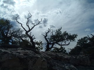
We wandered the North Rim over two days, so the pictures from here on are going to be of different times and weather conditions. 
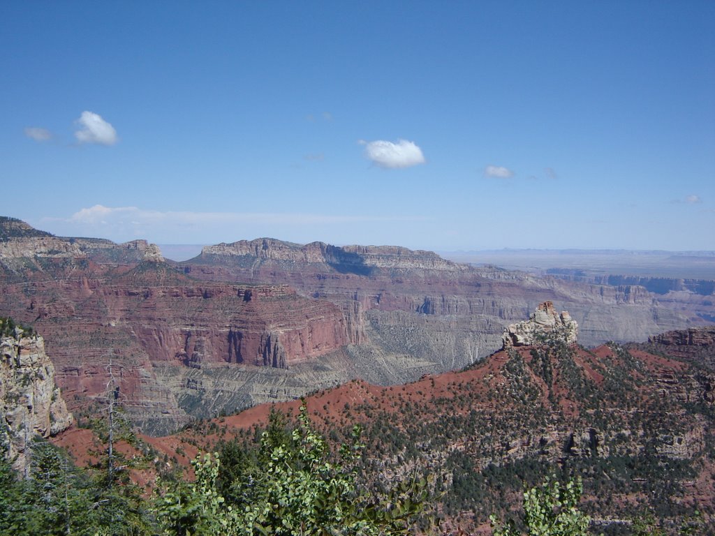
It's 44 miles from the junction with AZ-89 to the North Rim Lodge. Along the way we saw turkeys and deer. The lodge gives a view into the Grand Canyon over the Bright Angel, Transept and Roaring Springs side canyons.
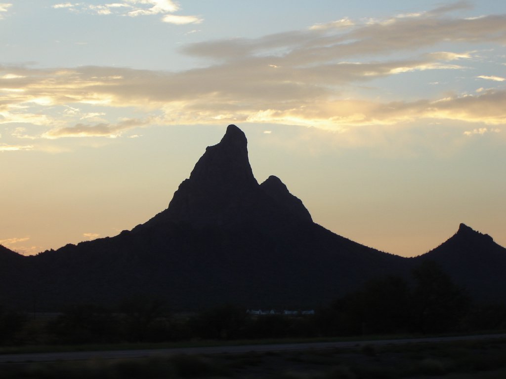
The red of the sunset lit up the canyon. I promised to post the shot I took, but it's pretty

fuzzy. Still, it does show how ruddy the canyon gets as the sun sets. The pointy one on the right is Angels Gate.

The first evening we got a shower sweeping in across the canyon that wet things down and made a wonderful sunset.

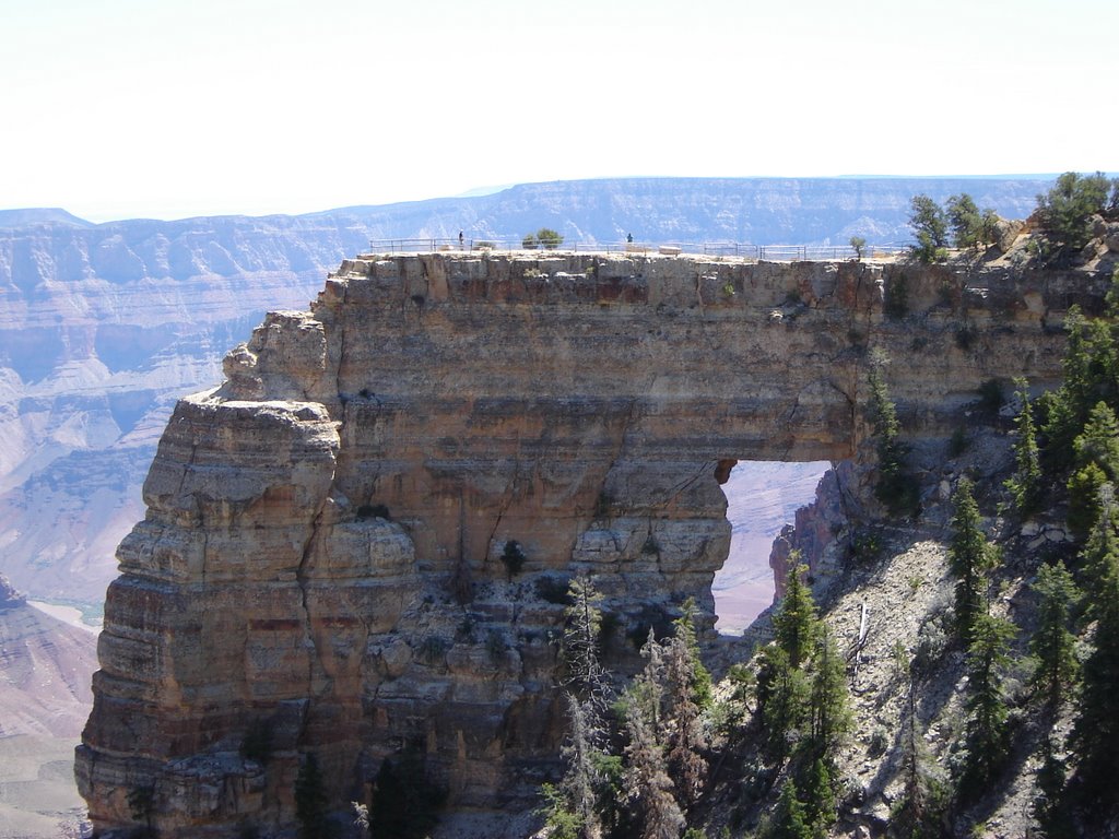
The lodge is very near the tip of a long penninsula, but not at the very end. To get to there you have to walk out another quarter mile on a narrow paved path. With a substantial dip and climb at 8,000' it's a pretty good bit of effort, at least for me. The trail is definitely not for those who are shakey about heights.
I'm having trouble with Blogger here so, assuming that I succeed in posting this, I'll pause here. There are other sites on the North Rim still to go and more on the homeward trail.
 I was riding out on the east side of Apache Junction when I heard a lawn-mower motor overhead. After a moment I spotted two ultralights heading north across the face of the Superstitions. By the time I fumbled my camera out and got it aimed, I only had time to point and shoot. Still, I think it came out okay, considering, and I have to think that the view from up there must be wonderful.


