 These were just hanging out near the car. There were small wildflowers throughout the park.
  These were just hanging out near the car. There were small wildflowers throughout the park.
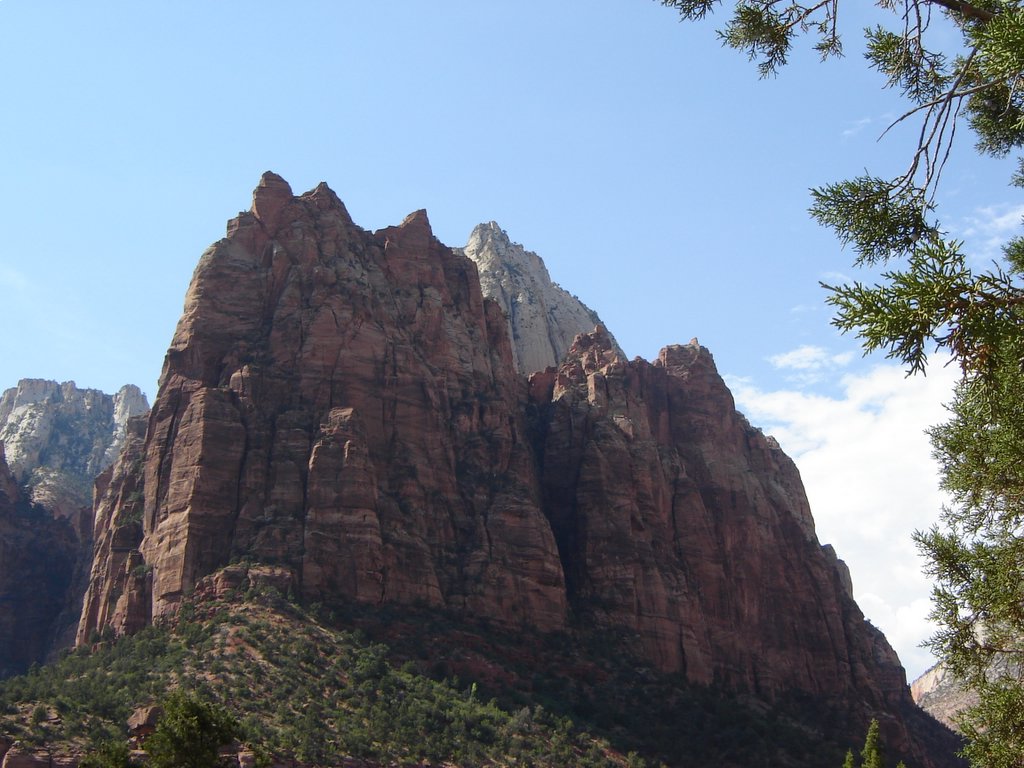 This is part of the Court of the Patriarchs. They really are impressive formations and they go up forever.
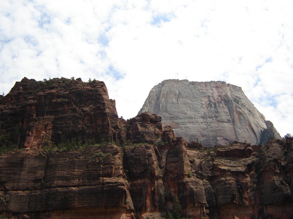 I have to tell you, I don't see a throne in this. I see a suggestion of a temple in some of the formations in the Grand Canyon, but this looks like a big flat-topped chunck of sandstone.
 This is about a mile upstream from the end of the road, and as far as you can go without getting your feet wet.
 The sandstone above lets the rain and snowmelt flow until it hits shale and then the water runs out in seeps and small waterfalls. The moisture allows a variety of plants to grow on the face of the rock, forming hanging gardens.
 That far plateau is over 11,000 feet above sea level - the highest plateau in North America. The picture doesn't do it justice because the coolest thing about it, at least from my view across the valley, is the way the white section on top gleams when the sun hits it.
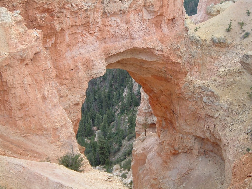 Or over-sized window, since the folks at Bryce make a point to differentiate natural bridges as being created by stream flow (but then they go ahead and labeled it the Natural Bridge viewpoint anyway!)...
 This was taken from the Rainbow viewpoint at the end of the road in Bryce Canyon. In addition to the hoodoos in front, you can see the sweep of the amphitheater rim.
 There are a couple of these as you head up Red Canyon toward Bryce Canyon National Park. Red Canyon has hoodoos like Bryce, but instead of looking down from the rim, you look up at them.
 This looks south toward the Glen Canyon Dam and the elegant bridge that is anchored to the sheer walls of the canyon. Page, AZ, is in the background. Whatever the merits of building the dam, it's a heck of a piece of engineering.
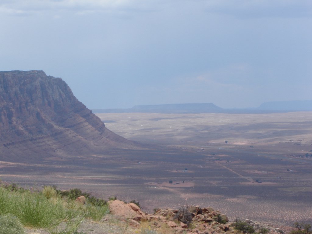 The highway ultimately climbs up the face of the wall to cut east toward Page. This view is toward the south, back toward the Little Colorado canyon.
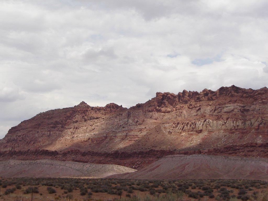 Heading north from Flagstaff toward Page, the highway runs for miles along this wall of rock.


